32.05 RON
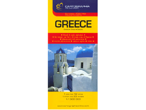
This folded map of Greece and it’s neighbour, Albania, clealy shows the road and rail networks and has nonbtrusive relief shading and spot heights to indicate the topography. The map includes an inset showing an enlargement of the island of Cyprus.Places of interest, viewpoints and tourist attractions are all clearly marked on the map as well as ferry and car ferry routes between the islands. Place names are in both the Latin and Greek alphabets.A full index is on the reverse side and the legend is in 5 languages, including English.Scale: 1:1 300 000
| Categorie | Carte straina |
|---|---|
| Magazin | carturesti.ro |
| Marca | Cartographia |
